

 Slovensko
 Latest Products
-
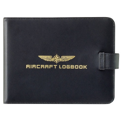 Cover AIRCRAT LOGBOOK
34,00€ Inc Tax
Cover AIRCRAT LOGBOOK
34,00€ Inc Tax -
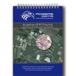 Austria VFR Trip Kit
54,90€ Inc Tax
Austria VFR Trip Kit
54,90€ Inc Tax -
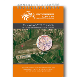 Croatia VFR Trip Kit
49,90€ Inc Tax
Croatia VFR Trip Kit
49,90€ Inc Tax -
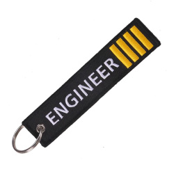 ENGINEER IIII Keyring
6,00€ Inc Tax
ENGINEER IIII Keyring
6,00€ Inc Tax


Pilot's Atlas Satelite Wall Map
41,00€ Inc Tax
Pilot's Atlas Satelite Wall Map
The fascinating view of our Earth from the Astronaut's eye. The Pilots World Satellite Wall Map.
High-resolution satellite image in photo quality, laminated print, 88 x 150cm (35 x 89 inch), with over 500 ICAO codes.
The specialty for Pilots lies in the exact placement of over 550 airports and their ICAO codes. An Airport directory (with ICAO, IATA, Lat. Long., City, Country, Longest runway and airport name) is included with every print.
- Size: 88 cm x 150 cm only l,5 mm thick. (35' x 89', thick: 1/16')
- Quality: PVC-matte finish scratch resistant, on non skid backing
- Publisher/Copyright: absolutezero multimedia GmbH, D- 41189 Mönchengladbach
- Aeronautical Datas: Jeppesen GmbH Neu-Isenburg
- Satellite-photo: WorldSat International Inc., Canada
- Scale at Aquator: 1 : 27.500.000
- Availability: In Stock
- Model: AZ-WALL-MAP
-
Manufacturer:


-
 A320neo Poster
5,00€ Inc Tax
A320neo Poster
5,00€ Inc Tax -
 A320neo Cockpit Poster
7,00€ Inc Tax
A320neo Cockpit Poster
7,00€ Inc Tax -
 A330neo Cockpit Poster
7,00€ Inc Tax
A330neo Cockpit Poster
7,00€ Inc Tax -
 A380 Cockpit Poster
7,00€ Inc Tax
A380 Cockpit Poster
7,00€ Inc Tax -
 A220 Cockpit Poster
7,00€ Inc Tax
A220 Cockpit Poster
7,00€ Inc Tax -
 A350 XWR Cockpit Poster
7,00€ Inc Tax
A350 XWR Cockpit Poster
7,00€ Inc Tax


