
 Slovensko
 Latest Products
-
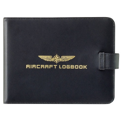 Cover AIRCRAT LOGBOOK
34,00€ Inc Tax
Cover AIRCRAT LOGBOOK
34,00€ Inc Tax -
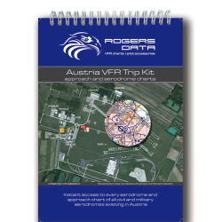 Austria VFR Trip Kit
54,90€ Inc Tax
Austria VFR Trip Kit
54,90€ Inc Tax -
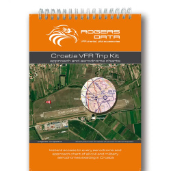 Croatia VFR Trip Kit
49,90€ Inc Tax
Croatia VFR Trip Kit
49,90€ Inc Tax -
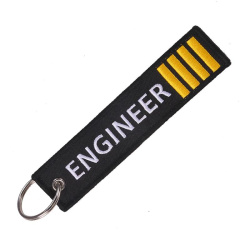 ENGINEER IIII Keyring
6,00€ Inc Tax
ENGINEER IIII Keyring
6,00€ Inc Tax
Product not found!
Product not found!

 Cover AIRCRAT LOGBOOK
 Austria VFR Trip Kit
 Croatia VFR Trip Kit
 ENGINEER IIII Keyring